Country exposure · BQ
Navassa Island
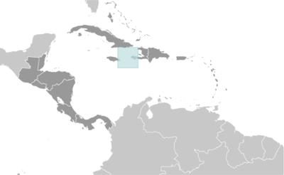
Central America N Caribbean
What Navassa Island means for your money, the prices you pay, the tariffs in motion, and where U.S. policy could change both.
U.S. exposure
Minimal direct economic exposure
Navassa Island is not a significant U.S. goods-trade partner and has no tracked tariff actions. Policy changes here are unlikely to reach American prices directly.
Reference
The country itself
Central America N Caribbean · Geography, people, economy, and government, public-domain data from the CIA World Factbook.
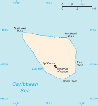
The US claimed uninhabited Navassa Island in 1857 for its guano. Mining took place between 1865 and 1898. The lighthouse, built in 1917, was shut down in 1996, and administration of Navassa Island was transferred from the US Coast Guard to the Department of the Interior, Office of Insular Affairs. A 1998 scientific expedition to the island described it as a "unique preserve of Caribbean biodiversity." The following year it became a National Wildlife Refuge, and annual scientific expeditions have continued.
Geography
- Location
- Caribbean, island in the Caribbean Sea, 30 nm west of Tiburon Peninsula of Haiti
- Area
- 5 sq km
- Climate
- marine, tropical
- Terrain
- raised flat to undulating coral and limestone plateau; ringed by vertical white cliffs (9 to 15 m high)
- Natural resources
- guano (mining discontinued in 1898)
- Coastline
- 8 km
- Natural hazards
- hurricanes
People & society
- Population
- uninhabited
Full reference data
Every field, by section, CIA World Factbook. Open a topic to expand it.