Country exposure · CP

Clipperton Island
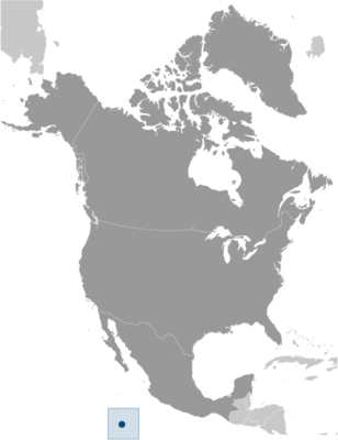
North America
What Clipperton Island means for your money, the prices you pay, the tariffs in motion, and where U.S. policy could change both.
U.S. exposure
Minimal direct economic exposure
Clipperton Island is not a significant U.S. goods-trade partner and has no tracked tariff actions. Policy changes here are unlikely to reach American prices directly.
Reference
The country itself
North America · Geography, people, economy, and government, public-domain data from the CIA World Factbook.
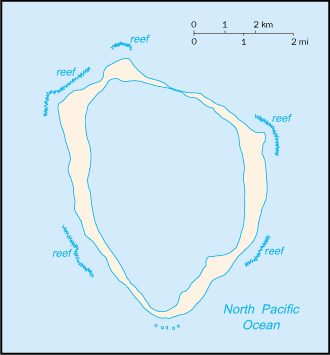
This isolated atoll was named for John CLIPPERTON, an English pirate who was rumored to have made it his hideout early in the 18th century. Annexed by France in 1855 and claimed by the US, it was seized by Mexico in 1897. Arbitration eventually awarded the island to France in 1931, which took possession in 1935.
Geography
- Location
- Middle America, atoll in the North Pacific Ocean, 1,120 km southwest of Mexico
- Area
- 6 sq km
- Climate
- tropical; humid, average temperature 20-32 degrees Celsius, wet season (May to October)
- Terrain
- coral atoll
- Natural resources
- fish
- Coastline
- 11.1 km
- Natural hazards
- subject to tropical storms and hurricanes from May to October
People & society
- Population
- uninhabited
Full reference data
Every field, by section, CIA World Factbook. Open a topic to expand it.