Country exposure · GEC-CR
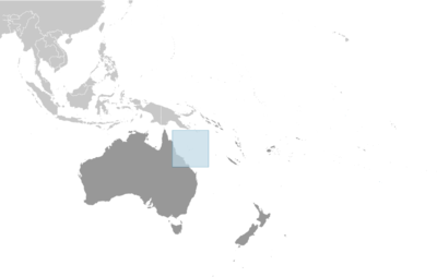
Coral Sea Islands
Australia Oceania
What Coral Sea Islands means for your money, the prices you pay, the tariffs in motion, and where U.S. policy could change both.
U.S. exposure
Minimal direct economic exposure
Coral Sea Islands is not a significant U.S. goods-trade partner and has no tracked tariff actions. Policy changes here are unlikely to reach American prices directly.
Reference
The country itself
Australia Oceania · Geography, people, economy, and government, public-domain data from the CIA World Factbook.
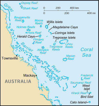
The widely scattered Coral Sea Islands were first charted in 1803, but they were too small to host permanent human habitation. The 1870s and 1880s saw attempts at guano mining, but these were soon abandoned. The islands became an Australian territory in 1969, and the boundaries were extended in 1997. A small meteorological staff has operated on the Willis Islets since 1921, and several other islands host unmanned weather stations, beacons, and lighthouses. Much of the territory lies within national marine nature reserves.
Geography
- Location
- Oceania, islands in the Coral Sea, northeast of Australia
- Area
- 3 sq km less than
- Climate
- tropical
- Terrain
- sand and coral reefs and islands (cays)
- Natural resources
- fish
- Coastline
- 3,095 km
- Natural hazards
- occasional tropical cyclones
People & society
- Population
- no permanent inhabitants
Full reference data
Every field, by section, CIA World Factbook. Open a topic to expand it.