Country exposure · GEC-PG
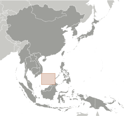
Spratly Islands
East N Southeast Asia
What Spratly Islands means for your money, the prices you pay, the tariffs in motion, and where U.S. policy could change both.
U.S. exposure
Minimal direct economic exposure
Spratly Islands is not a significant U.S. goods-trade partner and has no tracked tariff actions. Policy changes here are unlikely to reach American prices directly.
Reference
The country itself
East N Southeast Asia · Geography, people, economy, and government, public-domain data from the CIA World Factbook.
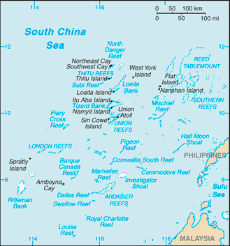
The Spratly Islands consist of more than 100 small islands or reefs surrounded by rich fishing grounds -- and potentially by gas and oil deposits. China, Taiwan, and Vietnam all claim the islands in their entirety, while portions are claimed by Malaysia and the Philippines. Around 70 disputed islets and reefs in the Spratly Islands are occupied by China, Malaysia, the Philippines, Taiwan, and Vietnam. Since 1985, Brunei has claimed a continental shelf that overlaps a southern reef but has not made any formal claim to the reef. Brunei claims an exclusive economic zone over this area.
Geography
- Location
- Southeastern Asia, group of reefs and islands in the South China Sea, about two-thirds of the way from southern Vietnam to the southern Philippines
- Area
- 5 sq km less than
- Climate
- tropical
- Terrain
- small, flat islands, islets, cays, and reefs
- Natural resources
- fish, guano, undetermined oil and natural gas potential
- Coastline
- 926 km
- Natural hazards
- typhoons; numerous reefs and shoals pose a serious maritime hazard
People & society
- Population
- no permanent inhabitants
Full reference data
Every field, by section, CIA World Factbook. Open a topic to expand it.