Country exposure · JN
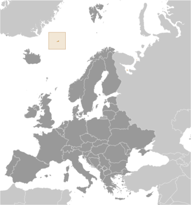
Jan Mayen
Europe
What Jan Mayen means for your money, the prices you pay, the tariffs in motion, and where U.S. policy could change both.
U.S. exposure
Minimal direct economic exposure
Jan Mayen is not a significant U.S. goods-trade partner and has no tracked tariff actions. Policy changes here are unlikely to reach American prices directly.
Reference
The country itself
Europe · Geography, people, economy, and government, public-domain data from the CIA World Factbook.
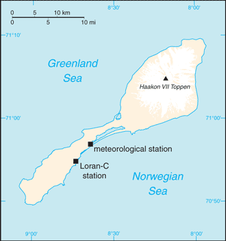
This desolate, mountainous island in the Arctic Ocean was named after a Dutch whaling captain who indisputably discovered it in 1614 (earlier claims are inconclusive). Visited only occasionally by seal hunters and trappers over the centuries, the island came under Norwegian sovereignty in 1929. The long dormant Beerenberg volcano, the northernmost active volcano on earth, resumed activity in 1970, and the most recent eruption occurred in 1985.
Geography
- Location
- Northern Europe, island between the Greenland Sea and the Norwegian Sea, northeast of Iceland
- Area
- 377 sq km
- Climate
- arctic maritime with frequent storms and persistent fog
- Terrain
- volcanic island, partly covered by glaciers
- Natural resources
- none
- Coastline
- 124.1 km
- Natural hazards
- dominated by the volcano Beerenberg volcanism: Beerenberg (2,227 m) is Norway's only active volcano; volcanic activity resumed in 1970; the most recent eruption occurred in 1985
People & society
- Population
- no permanent inhabitants
Full reference data
Every field, by section, CIA World Factbook. Open a topic to expand it.